
In this post I discuss three functional resources that can help teachers link content from their geography courses to historical thinking and technology. Building on my first geography post, I list ideas and methods for effective implementation of these resources (Google Earth, Gapminder and If It Were My Home) so that students not only better understand the course material, but also become more globally-conscious and ICT-literate individuals. If you know of any other resource or method to effectively teach geography material, please feel free to share it in the comments section or on Twitter; I look forward to exchanging ideas with pre-service and seasoned educators alike!
Google Earth
Google Earth is a program released by Google in 2005 that allows users to interact with digital maps of the globe. Using satellite imagery, Google Earth has several layers that users can enable to discover more about the Earth’s physical landscape (or even the universe), in addition to being able to view the architecture and man-made structures of cities all over the planet. Google Earth is becoming an invaluable resource to have in a geography classroom, as it allows teachers to help their students explore the vast planet upon which they live, and employs various sources of statistical data to help students understand the cultures and issues of other human beings.
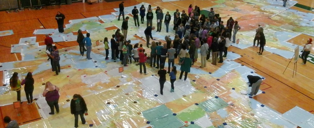
Google Earth Blog provides excellent ideas about how to implement the Google Earth program within classrooms. The link above features a lesson posted by Mickey Mellen on June 6, 2014 which assigns students the task of creating a route for Imperial Airways (1937) to fly customers from the United Kingdom to South Africa. Students must take into account flight distances, appropriate places to land for fuel, and safe flight times as part of their flight plan for this assignment, and must submit their .kmz (the particular file developed for Google Earth that allows users to save and view 3D maps) file as the final product of their work. Google Earth Lessons is a website created in 2007 by a computer science teacher from Florida that has developed a wide-range of lesson plans that use Google Earth to help foster a collective understanding of the physical world. For example, one lesson requires students to use the program to track the origins of inventions that have changed the nature of the business world. Students are then assessed on their understanding of the lesson material by being asked to add a placemark on the class’s Google Earth project in which they provide a description and hyperlink to material explaining why that placemark is important to the origin of an effective invention. This lesson not only incorporates the historical context of these inventions, but also addresses the effects these tools have had upon global economies and cultures as well. Lastly, the program allows students to interact with one another as they engage the course content, in addition to further familiarizing them with the material within Google Earth.
Students engaging in activities which utilize Google Earth also develop historical thinking skills. The Google Earth lessons discussed here allow students to interact with events of the past in a personal way, using their own understanding and life experience to analyze and manipulate those situations in “what if?” circumstances. Moreover, such activities provide students with the opportunity to come into contact with technologies that they may not have encountered before, thus giving them a “leg-up” as potential candidates in a very competitive, technological job market.
Gapminder
As mentioned in my previous post, Gapminder is an “online database of statistical world data developed by Hans Rosling (Swedish statistician, professor and public speaker) to help individuals develop a more ‘fact-based worldview.’” Rosling has compiled various statistics from all over the world to help every-day individuals understand the living patterns of their counterparts all over the world, with the hopes of someday becoming a globalized and equitable planet. Rosling and his colleagues develop special guides for the Gapminder website to help teachers educate their students on topics such as human development and life expectancy, in addition to games that challenge “students’ perceptions about the contemporary world.” (http://www.gapminder.org/for-teachers/#.U5jO7ygVets)
The Gapminder website provides links to webinars where teachers can learn how to effectively use the technology of the Gapminder database within their classrooms. Furthermore, the site contains videos of Rosling’s presentations of various world statistics, which can help students better understand the barriers to globalization. Finally, there is a quiz available to teachers that tests their understanding about global development, to better equip educators with the knowledge necessary to teach about human development and globalization on the planet.
Gapminder emphasizes an understanding of the historical context of the global statistics provided, so that users can follow the progression of global inequality and human development throughout history. Additionally, Gapminder reinforces historical thinking by highlighting the importance of sourcing information, understanding where facts come from and choosing reliable sources from which to gather data. While the information presented on Gapminder would be ideal for teaching a Geography course, such statistics would also add dimension to Contemporary World Issues or Economics courses as well.
IfItWereMyHome.com
If It Were My Home is a collection of online statistics that allow users to compare their living conditions with those of someone from a different culture. The website, created in 2010 by Andy Litner in response to the BP Oil Spill, uses the 2010 Pakistan Flood and the BP Oil Spill to help students understand the effects of natural disasters, not only on the physical environment, but also the people and societies affected as well. Students can compare the data of their unique position in life and within the United States against the same data from countries around the world, in order to analyze how effectively they use Earth’s resources and interact with the society around them (click here for an example comparison).
Geography educators can use the information provided by If It Were My Home to provide their students with a cultural perspective that is vastly different from their own. By connecting such information with technology like Google Earth, teachers can ask their students to map the data reflecting their life circumstances alongside the data of a culture halfway across the world. According to Daisy Martin’s definition of historical thinking, such an activity would emphasize the analysis of multiple accounts and perspectives, thus encouraging students to think outside of their own realm of understanding.
Check out these additional resources for more ideas and lesson plans that you can implement in your Geography classroom!
- National Geographic Education (developed by National Geographic, and funded by Verizon Wireless; the most recent copyright for the website is 2014) – http://education.nationalgeographic.com/education/teaching-resources/?ar_a=1
- Various interactive geographical resources for teachers to implement within classrooms, with special emphasis on various types of maps
- EarthWeek (Steve Newman is the Executive Editor of the print and web versions of EarthWeek; the web version was first introduced in 1995, but the most recent copyright for the website is 2014) –http://www.earthweek.com/
- “A diary of the planet” – an online collection showing scientific aspects of geography, including volcanoes, earthquakes, disease and how human beings interact with that science
- Discovery Education (developed and maintained by the scholars at the Discovery Channel and a community of educators) –http://www.discoveryeducation.com/search/page/-/-/lesson-plan/geography/index.cfm
- Various lesson plans related to geography material
- Target Map (created in 2012 and located in Barcelona, Spain; maintained by professional bloggers) –http://www.targetmap.com/
- Allows students to create their own maps based upon their own unique set of data