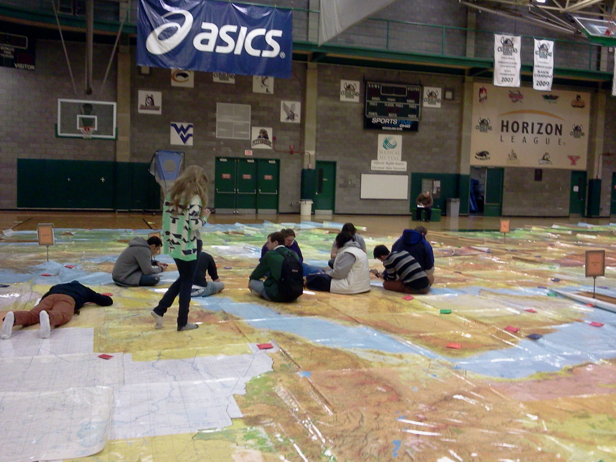
Our final student reflection features a European tour. Geography student Kelly Zippay demonstrates that the mapwalk can provide an alternative perspective even, and perhaps more so, for places with which we feel familiar.
A European Tour
This past Friday, I went on a tour of Europe. During my tour, I visited eleven places throughout the continent of Europe. Before starting my tour, I looked at a much smaller map of Europe and mapped out where I would like to visit. While looking at the smaller map, I did not realize how far apart the countries actually were. The large maps in the gym allowed me to see how far apart the countries were and the terrain that countries had. I never really realized where exactly these cities were found within these countries and how close some of them were to the coast. The large map also allowed me to see neighboring cities that were not listed on the smaller map. The Map Walk gave me an appreciation of the globe and how much traveling it can require to go from place to place.
I started out my tour by visiting Carini, Sicily. Carini is found in the North East portion of Sicily; it is near the Coast of the Golfo and was on relatively high terrain. After visiting Carini, I made my way to Napoli, Italy. Napoli is on the Coast of Di Napoli, is at sea level, and does not have much vegetation. After visiting Napoli, I moved a little farther north and visited Milano, Italy. Milano was at the northern most part of the country and had little, to no vegetation. From Napoli, I moved to Paris, France. Paris was in the north western part of the country and was a very large urban area. Paris is also home to the Eiffel Tower, which was shown on the map. From Paris, I traveled to Madrid, Spain. Madrid was found in the heart of Spain, it is also a very large urban area compared to the rest of the country. From Madrid, I crossed the ocean and traveled to Dublin, Ireland. Dublin is on the western coast of Ireland, it is a relatively large urban area found off the coast of the Dublin Bay. From Dublin, I traveled to London, United Kingdom. London was an extremely large urban area that was found at sea level. From London, I traveled to Knokke, Belgium. Knokke is a very small urban area that is by the coast of the Strait of Dover. From Knokke, I made my way to Amsterdam, Netherlands. Amsterdam was found on the north eastern part of the country, it was also a very large urban area that was found at sea level. It is by the Markermeer, which has a dike that was under construction. From Amsterdam, I made it to my second to last stop, Munchen, Germany. Munchen is near Austria and has a high level of vegetation. From Munchen, I traveled to my last stop of Trausdorf, Austria. Trausdorf is near the Neusiedler See and is almost right on the border Hungary. It was a very small urban area that had a lot of vegetation.
Throughout my itinerary, I was able to see most of Europe. I developed an appreciation of how large Europe actually is compared to other parts of the world and how many cities are found within each country. My itinerary covered a lot of ground and took me an hour to complete. Thanks to the Map Walk, I was able to get a different perspective than I usually get from looking at a map in a textbook. I also learned how to read a map better because I was able to use the map key and see where everything was inside a specific country. I hope that one day in the future I can actually complete my itinerary and visit all of these places.
Thanks Kelly for sharing this reflection!

